WEST PENNINE WAY
Waugh's Well
rainbow
robin hood
basin stone
tockholes
hm2
Darwen Tower Fri 20th July 18
rivington
PlayPause


COME WALKING

Friday Evenings May to September 2024

2-hour guided walks on the West Pennine Moors and Bury North.

Click Friday Evening Walks for further information


COME WALKING

Friday Evenings May to September 2024

Click Friday Evening Guided Walks to view the programme of Friday Evening Walks this summer.


March 2024 to May 2024

Spring Guided Walks

Click Spring Walks for the program.

All are welcome, no membership is required, come regularly or just occasionally on these free guided walks.  You are advised to wear appropriate clothing and hiking boots.  We will walk even if it is raining but not in extreme conditions! On the long walks (except the Pilgrims’ Way walk), there is the option of having a café/pub lunch.

There are plenty of stiles and several steep inclines.         Sorry, no dogs.             (NB. Mileage and finishing times are approximate.)

Click Spring Walks to see the program of walks for March, April and May 2024.


Objections to the Diversion of Part of Public Footpath Number 19, Ramsbottom

GREENMOUNT VILLAGE COMMUNITY WALKING GROUP

Many thanks to those who supported our objections to the diversion of the Ramsbottom footpath number 19 into Redisher Woods.

You can view a copy of the footpath plan by clicking  Footpath Plan

You can view the response of the Public Rights of Way Officer, by clicking  Response Letter

Representatives from our walking group had an onsite meeting, on 13th December 2023, with David Chadwick the Public Rights of Way Officer for Bury Council. We were able to point out our concerns on the hazards of the proposed new route. After the visit these concerns were sent in a letter to David Chadwick.

The letter from David Chadwick dated 3rd April 2024, (click  Response Letter) covers all our concerns about the diversion route, so we are withdrawing our objections, having been assured that the original definitive way remains open until the council officials inspect and approve the work done on the revised route, and that representatives from Greenmount Village Community Walking Group will be invited to attend this inspection.

Once the new definitive footpath is approved and the old definitive footpath is closed, then Bury Council will be responsible for the upkeep of this new footpath.

Once it is done we agree that it will make a good and interesting walking route into Redisher Wood from Redisher Lane.

WALK REPORTS

Monday 15th April 2024

Fifth Section of the West Pennine Way – Roddlesworth to Great Hill and back via Hollinshead Hall.

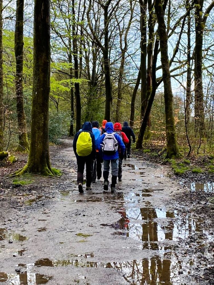
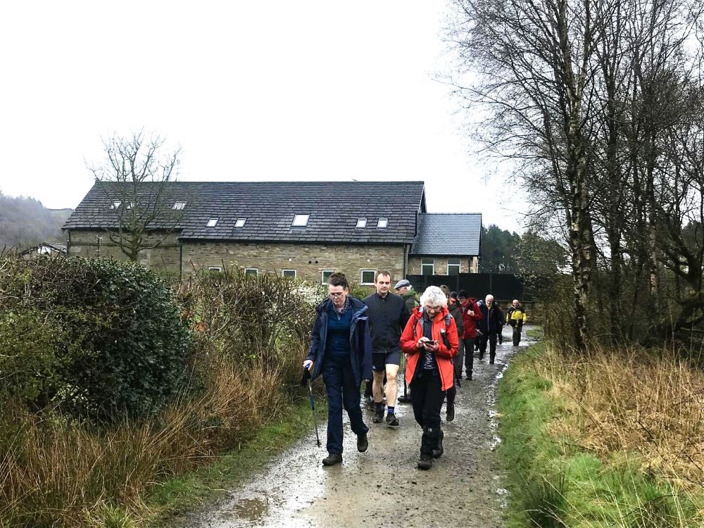
This morning there was a yellow weather warning, forecasting strong winds and heavy rain, so the question was is it safe to complete the walk. Four walkers and four leaders had arrived at Roddlesworth Information Centre, so we decided to walk through the shelter of Tockholes Woods to Abbey Village and then assess the weather conditions.

Tockholes Wood

Abbey Village

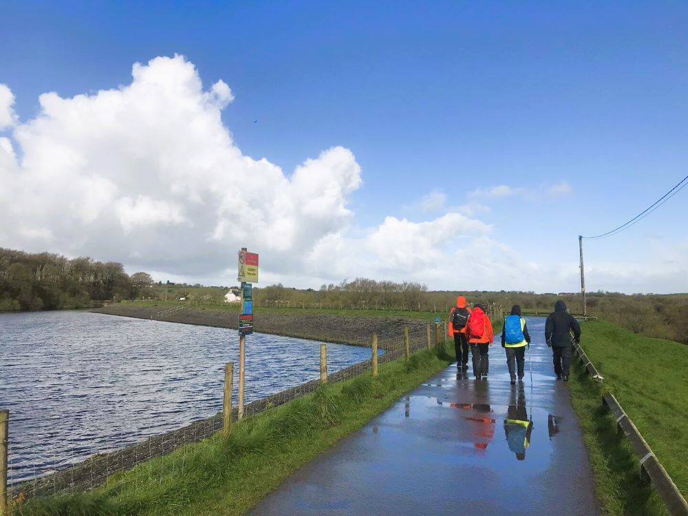
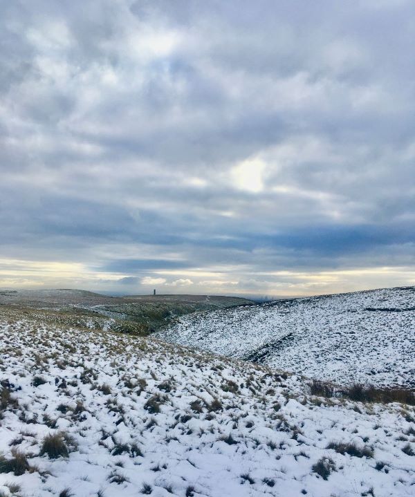
When we arrived at Abbey Village the sun was shining and there was a cloudless blue sky, so we decided to take the most direct route to that part on West Pennine Way (WPW) where we ended our last walk on the WPW. Once through the village we made our way along a country lane to a footpath that took us onto Millstone Edge. The moor was very wet, which we expected after all the heavy rain, but we made good progress and soon arrived at Wheelton Plantation, overlooking Brinscall.

Millstone Edge

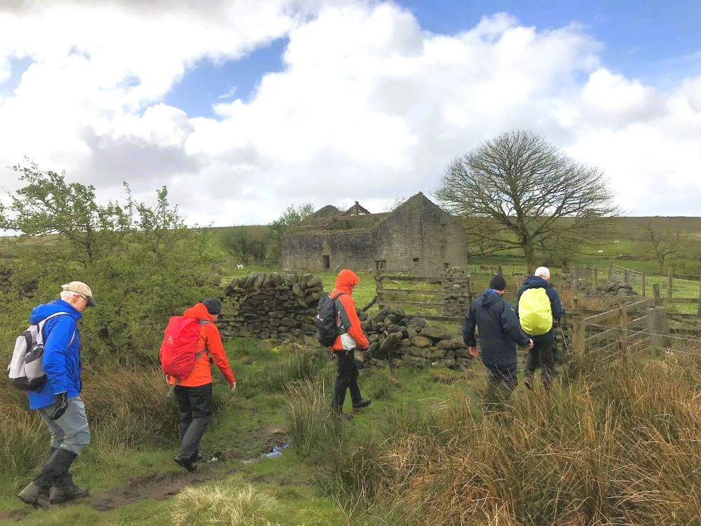
Here we joined a track that took us over Heaper Moor to the ruins of Drinkwater Farm and the route of the WPW. From here we started the steep climb up to the summit of Great Hill (329m) and as we were still ahead of the storm, we decided to have our morning coffee stop in the shelter, of the stone seating area.
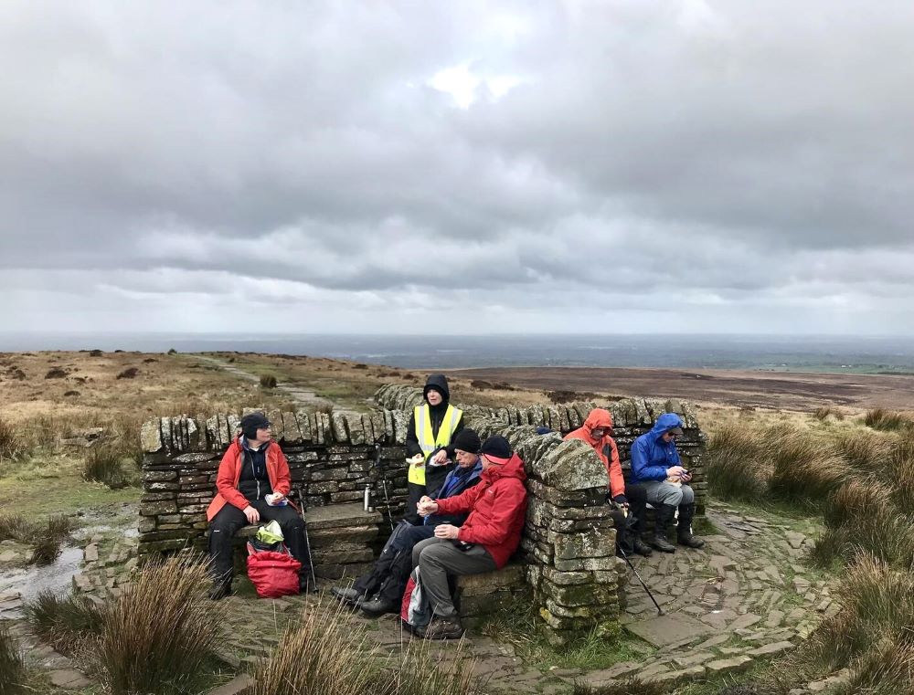
Great Hill

The decent was extremely wet and muddy, but fortunately the wind was behind us, and the hill sheltered us from the storm, which had just arrived.

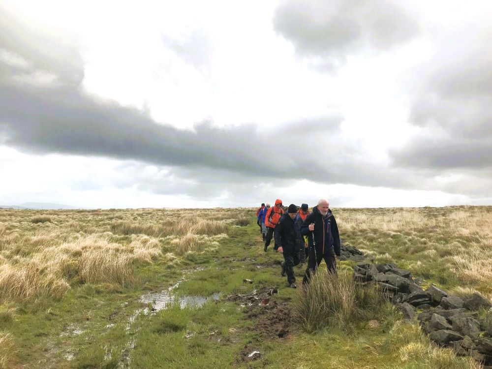
Descending Great Hill

Once across Bolton Road we joined the track, on our left, that headed to the ruins of Hollinshead Hall. The hall was built in 1776 by John Hollinshead and it was lived in until 1900 when the land was bought by Liverpool Corporation, and the hall was demolished, with most of the stone being used to build cottages in Belmont Village. From the hall the WPW follows footpaths through Tockholes Plantation back to Roddlesworth Information Centre, where we arrived before lunch and having escaped most of the storm. As we had shorted the first section we had only covered 8.5 windy miles.
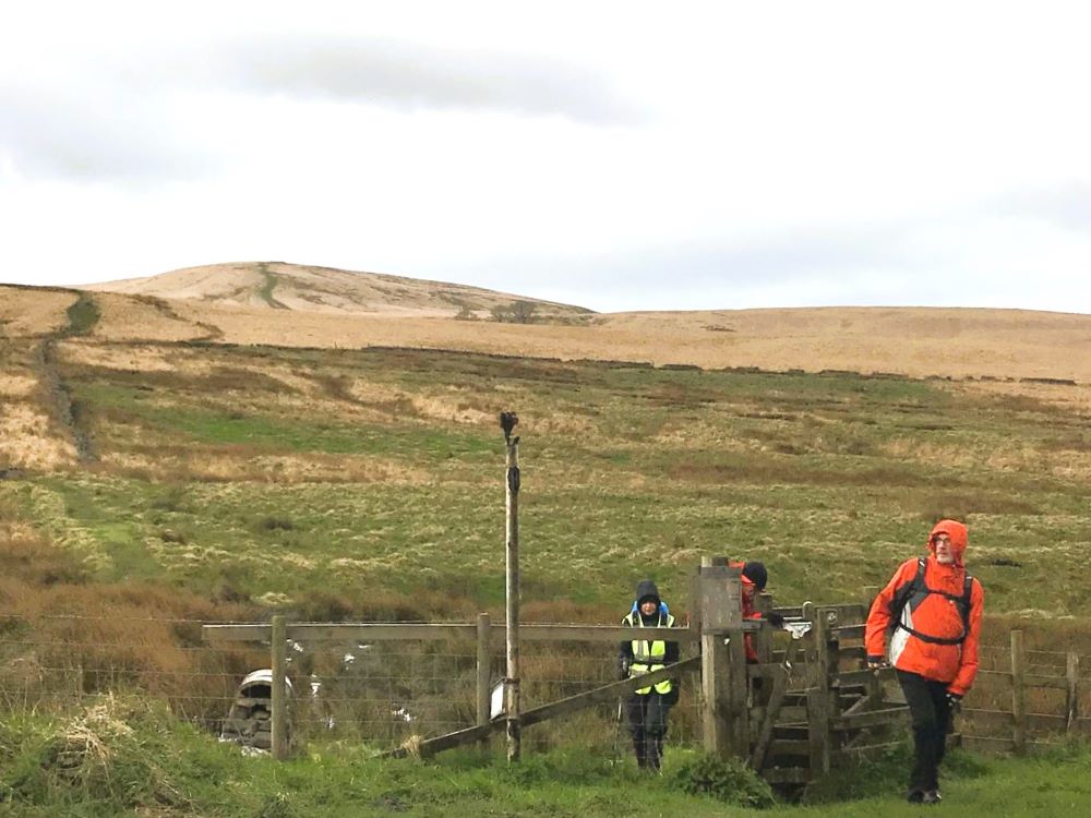
Bolton Road

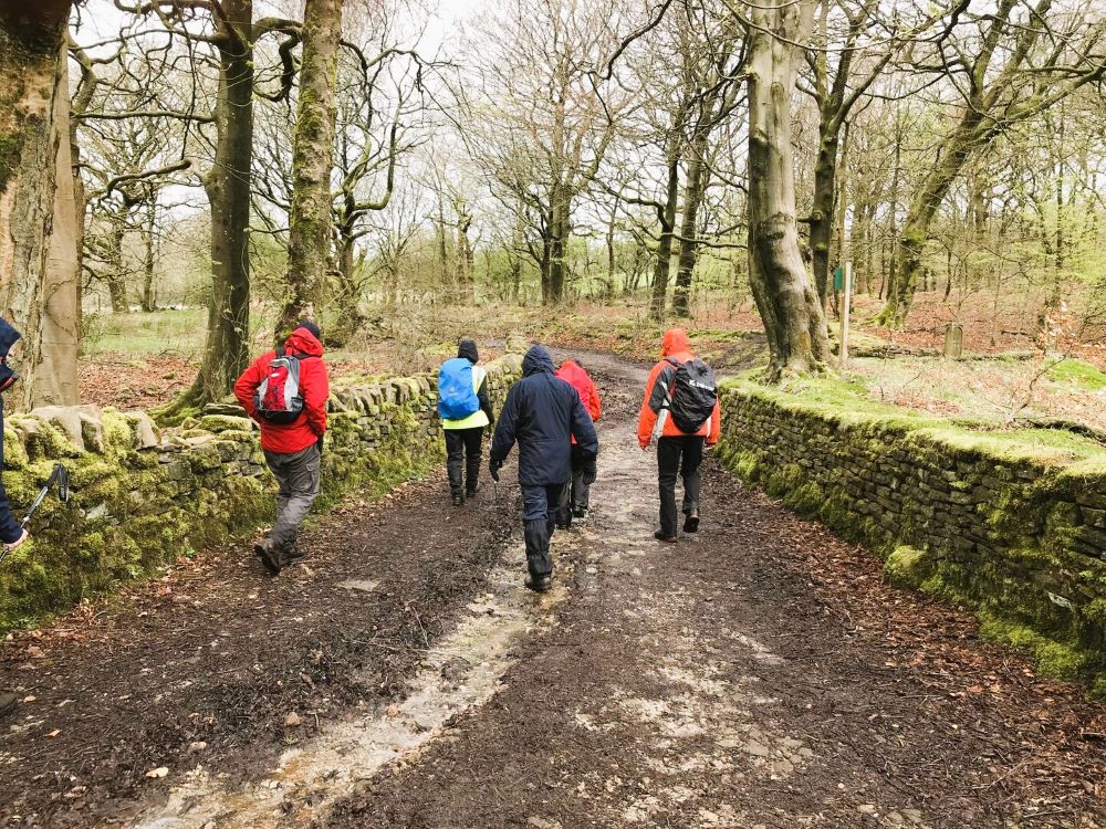
Heading back to Roddlesworth

Monday 8th April 2024

Greenmount to Peel Tower.

On a very wet and cloudy morning eighteen walkers set out from Greenmount Old School to complete the monthly short walk. We began by heading for the golf course and making our way to Holhouse Farm, where we joined the footpath leading to Bolton Road. Once on the road we turned left, in the direction of Hawkshaw, and walked as far as the access road to Loe Farm, which we turned into and headed through the very muddy fields up to Hollingrove Farm, on Redisher Lane.

Heading for Redisher Lane

After turning left on the lane, we walked up to Simons Farm where we turned left through a kissing gate, and headed in the direction of the assault course, which is part of the Rifle Range. The course was used between 1977 and 1995 for the television program, The Krypton Factor, hosted by Gordon Burns. The route then turned right and descended a steep path down into the valley.

Heading for the Rifle Range

Once across the footbridge, over Red Brook, we climbed up to the ruins of High Ridge Farm and after getting our breath back we descended into the valley below. The climb out of this valley was even steeper and at the top we turned right and followed the footpath for a short distance before turning left over a stile and onto Moorbottom Road.

Footbridge over Red Brook

Ruins of High Ridge Farm

Bottom of the valley

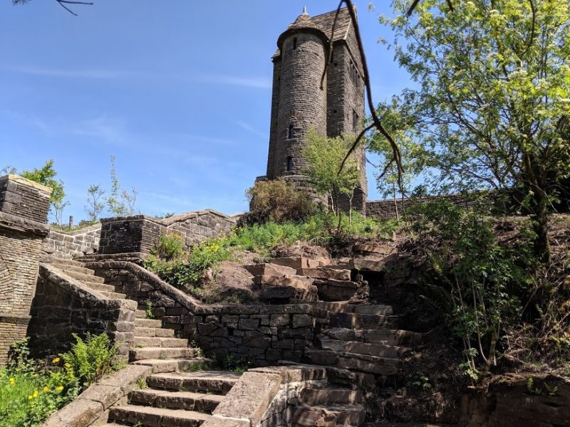
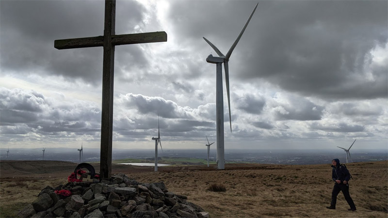
After tuning left, we walked as far as the route of The West Pennine Way, which we joined and followed it onto Holcombe Moor and eventually to Peel Tower, which was shrouded in mist.

Holcombe Moor

Heading for the tower

Spot the tower in the mist

Taking shelter, from the wind we stopped at the tower for our morning coffee break before descending the hill and heading back to Greenmount having covered 6.5 wet and misty miles.


MAP OF THE WEST PENNINE WAY

View videos of the West Pennine Way by clicking West Pennine Way Videos


You can view or print the walk leaflets for the West Pennine Way by clicking on Walk Leaflets.

A set of these A3-size leaflets can be obtained by sending a self-addressed envelope with 2 first-class stamps on it to the address shown below.  The envelope needs to be 22cm by 11cm.

Christine Taylor
c/o Greenmount Old School,
Brandlesholme Road,
Greenmount,
Bury BL8 4DS.


Circular Walks incorporating the West Pennine Way

You can view a number of Longer Circular Walks, which incorporate the West Pennine Way, by clicking the link Longer Circular Walks. These walks show a map and also the .gpx file of the route.

If you prefer a shorter walk click the link Shorter Circular Walks. These walks also show a map and the .gpx file of the route.

Many smartphones, tablets and other GPSMAP devices (eg Garmin Hand Held) are GPS-enabled.  Smart phones, with the right app, can be used as a navigational aid. To do this, download the .gpx file from the route page and import it to your device.


simon
cheesden
shuttleworth
whittle pike
View of Winter Hill
View of Peel Tower
Holcombe Moor in snow
Sunlight.J{G
Weds 15th May 2019 13-800x600
Darwen Tower Fri 20th July 18
White Coppice July 18 2018
Anglezarke Wednesday 20th June 2018 1
Fri 8th June The Blue Lagoon
Mon 12th Feb 18 3
Naden Reservoir
Climbing Cheetham Close
quarry grane
cutting grane
chimney grane
waugh's well
PlayPause
previous arrow
next arrow
 

COME WALKING AROUND GREENMOUNT

You can download a map of a walk and the gpx file for the walk shown on the Community Notice Board map, by clicking       Come Walking Around Greenmount


VILLAGE LINK

To view the Village Link website and its walks,

click the Village Link logo.

KAY STREET COUNTRY STRIDERS is a small group of walkers based in Rawtenstall.

Monthly Saturday walks in the North West - for more info click --- Kay Street Country Striders