


VILLAGE LINK
To view the Village Link website and its walks, click the Village Link logo.
PILGRIMS' WAY
Follow the route of the Pilgrims  from Whalley to Manchester.
For detailed information on this walk click
Pilgrims' Way
or click the picture.
Walk Reports
Monday 9th March 2026
The first of nine circular walks to complete the West Pennine Way.
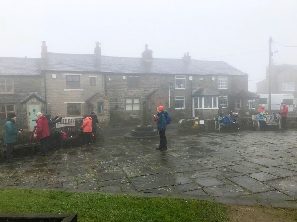
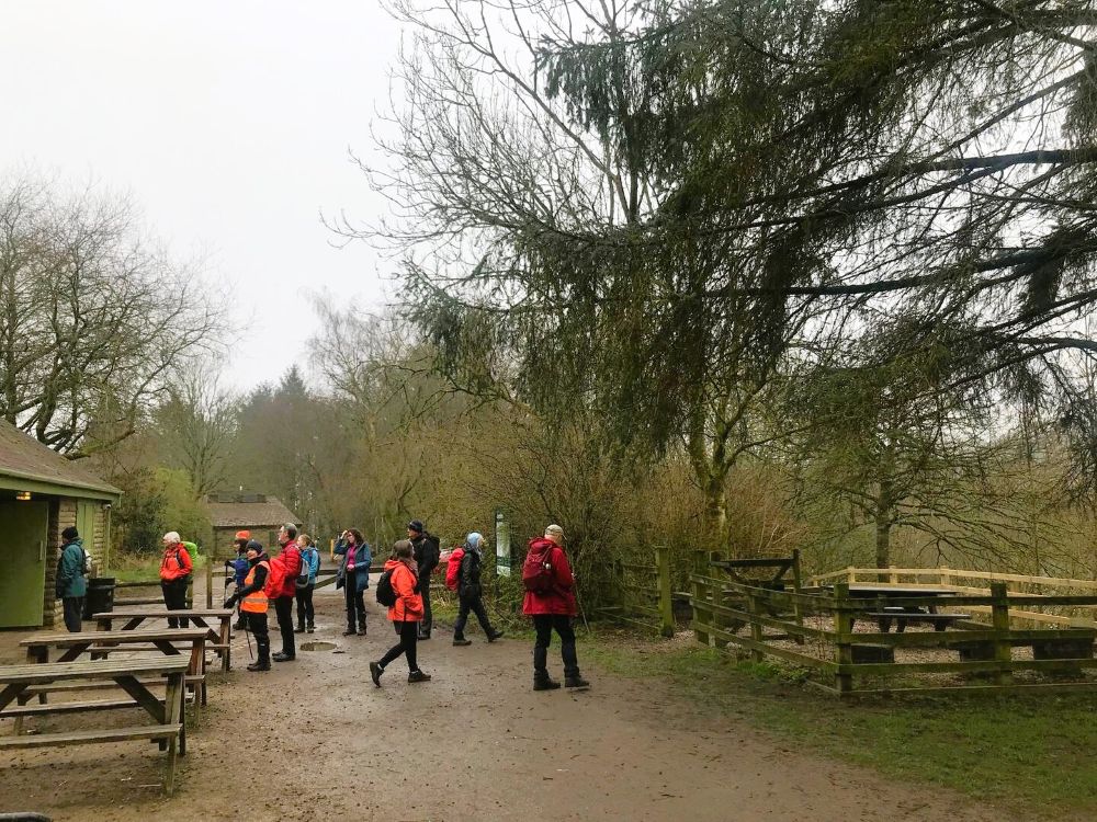
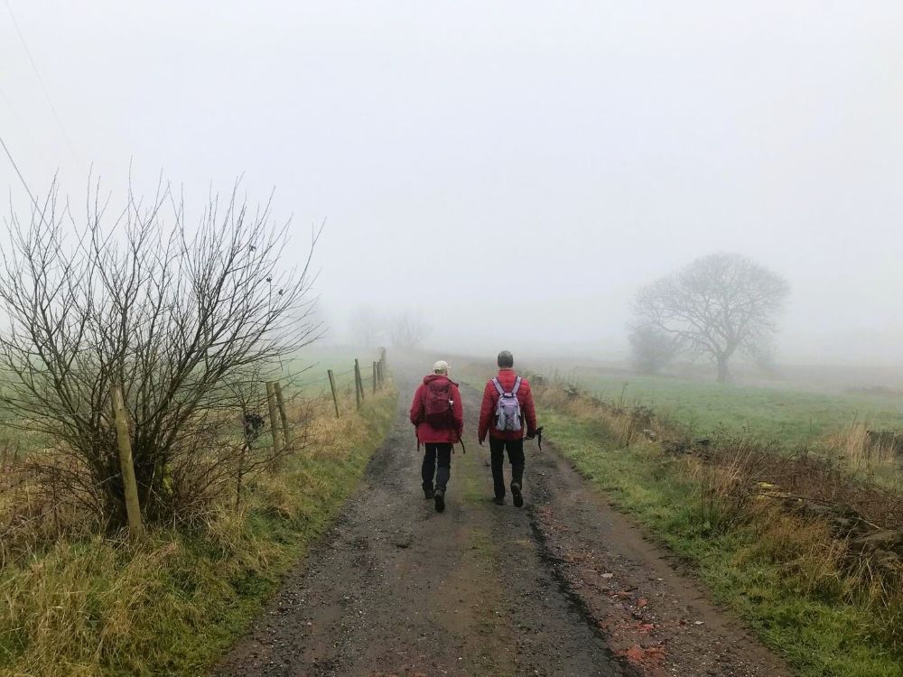
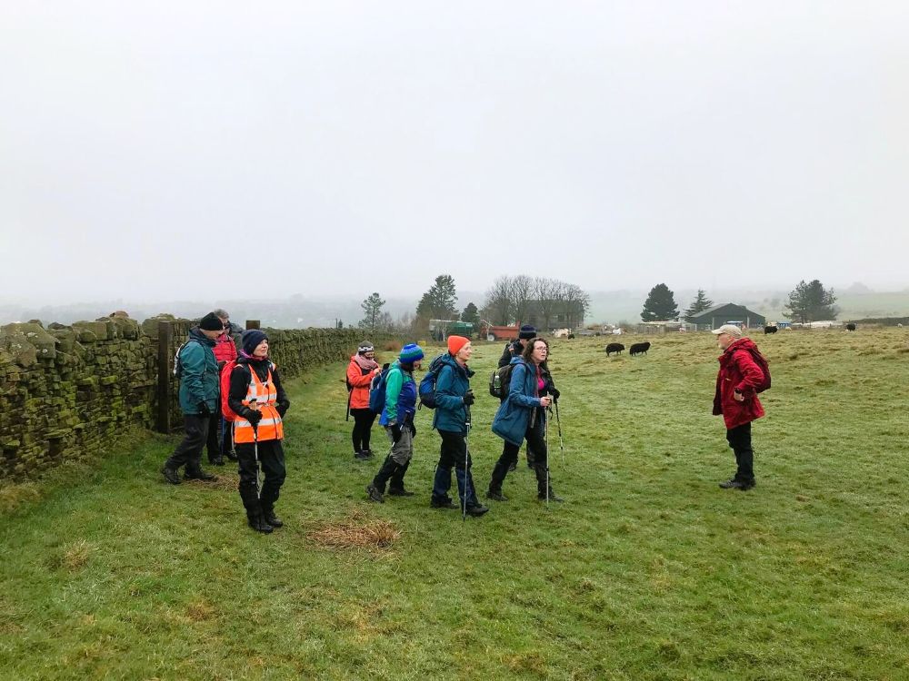
On a very misty morning fourteen walkers set out from Greenmount to complete the first section of the West Pennine Way (WPW). We followed our distinctive orange way markers into Hollymount and down to Brook Bottoms. At this point the route should turn left and head up the steep valley to Turton Road, but when we checked this section, we decided that the footpath up to the main road was too dangerous. Instead, we carried straight on in the direction of Hawkshaw and once over the ladder stile we turned left and headed up to Affetside. After stopping for our morning break, we joined the WPW markers and followed them down to Bradshaw Road.
Affetside
Jumbles
Misty morning
Once across the road we continued along the route into the Jumbles Nature Reserve and crossed over the concrete bridge and continued up to Turton Tower. This was the end of the first section of the WPW.
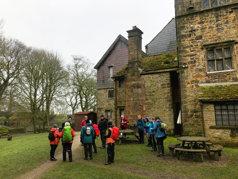
Turton Tower
After eating our lunch, in the gardens, we began our return journey. It was just a short distance along the track, at the back of the tower to Station Road, were we turned right and walked into Chapeltown. After crossing the road, at the Chetham Arms, we walked to the football pitches on Tower Street which are believed to be among the oldest in the world still in active use. Originally the home of Turton FC (formed in 1871), the site has been used by Old Boltonians AFC since 1952, who later purchased the land in 1970.
Heading to Top of Quarlton
After passing St Anne’s Church we headed into Turton Bottoms and followed the footpaths up to Pallet Farm, on Bury Road. Once across the road we continued along the footpaths to the hamlet of Top of Quarlton. From here we continued along familiar footpaths back to Greenmount having covered twelve misty miles.
Monday 2nd March 2026
Three Centuries Heritage Trail Walk.
Today’s walk was in support of the Whitehead Gardens Improvement Project.
There is an obvious keen interest of local history in Tottington and Greenmount as forty five walkers were on last month’s Seven Mills Walk and forty three walkers, six of them new to the group, joined us for this month’s walk. The walk followed a route which included heritage sites, in Tottington and Greenmount, over the last three centuries that were brought to life through an illustrated leaflet produced by our local historian, Christine Taylor. We began the walk at Greenmount Old School, itself being part of our history, and after crossing Holcombe Road we walked down to the old stone cottages, on our right, which were originally a pub called The Bull. After walking over the Greenmount golf course, we arrived at our next site that of Whipney House, (1794) home of James and Dorothy Holt who were instrumental in fund raising for the building of St Anne’s Church, Tottington. Further along the lane we arrived at Hollymount, with its religious history, which dated back to 1873 and included a chapel, convent, orphanage, care home and more recently a junior school. The nuns, who ran the orphanage also planted an orchard that was renovated in 2010.

Hollymount

The Orchard
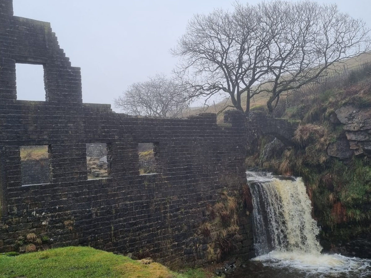
From the orchard we descended into the valley and the site of Fearn’s Mill, a cotton spinning mils that closed in 1885. From the mill we followed a track up onto Turton Road, where we turned left and headed down to our next historic sites, the Dungeon Inn, which the new landlady had kindly open to let us view the inside. The pub was built in 1904 and the actual Dungeon built in 1835 was mainly used to lock up local drunks for the night.

Site of Fearns Mill

The Dungeon

The Dungeon Inn
After crossing the road and passing the site of the old Printer’s Arms Pub, now an Italian restaurant we made our way to Whitehead Gardens. The gardens is a memorial, dedicated in 1950, commemorating seven local residents killed by a V-1 "doodlebug" flying bomb on Christmas Eve, 1944. The land was donated by Mr. and Mrs. S.D. Whitehead of Stormer Hill, the site on Chapel Street was intended to serve as a place of reflection.

Whitehead Gardens

Gardens and Church
As well as reflecting on the on the dramatic historic incident we used the time to take our morning coffee break before heading across the road to the church, our next historic site. St Anne’s Church was built on 1799 with the vicarage and school being built later.

St Anne's Church
After spending time in the church, we made our way up to Stormer Hill House, built by the Smally family in 1762, where we turned right and walked through Stormer Hill Fold and across the fields down to Mill Lane. Our next site of historic interest was Tower Court, originally named Tower Farm built by Joshua Knowles in 1840 to stable his horses and more recently converted into apartments. Our fine final stop was at Nabbs House, built by John Turner around 1840, he was brother in law of Joshua Knowles. Its most interesting feature is the castle like summerhouse with its gargoyles, said to depict local residents. It was just a short walk back to Greenmount Old School having covered four very informative miles.

Tower Court

Nabbs House
Thank you to the Heritage Fund and National Lottery Players for funding this walk.